


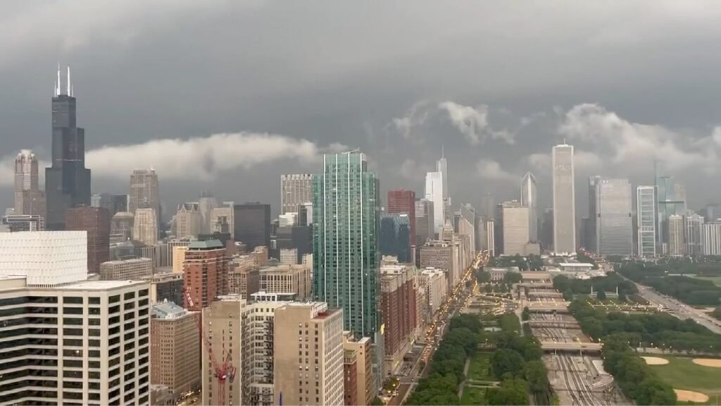
The Chicago area is experiencing a wild weather “smackdown” this week. On Wednesday, March 25, 2026, temperatures surged into the 70s and 80s, potentially breaking a 19-year-old record. However, the National Weather Service (NWS) warns that this unseasonable warmth is the “fuel” for a powerful cold front arriving today, Thursday, March 26.
The Highlights: What to Expect
- Severe Storm Window: Thunderstorms are expected to develop after 1:00 PM on Thursday. The primary window for the most intense weather is between 4:00 PM and 10:00 PM.
- Primary Threats: The NWS has issued a Level 2 out of 5 “Slight Risk” for severe weather. The main concerns are large hail (up to 1 inch) and damaging wind gusts reaching 60 mph.
- The “Cold Shock”: Temperatures will plummet from the mid-70s Thursday afternoon to the low 30s by Thursday night—a staggering 40-degree drop in just a few hours.
- Travel Impacts: Commuters should expect heavy downpours and low visibility during the Thursday evening rush hour. A Gale Watch is also in effect for Lake Michigan.
Chicago Temperature Rollercoaster (March 2026)
| Date | Forecast High | Weather Conditions |
| Wed, March 25 | 70°F – 82°F | Record-breaking heat, gusty south winds. |
| Thu, March 26 | 74°F (Early) | Severe Storm Alert; temps drop to 30s by night. |
| Fri, March 27 | 38°F | Much colder, feels like winter again. |
| Sat, March 28 | 45°F | Sunny but chilly; stabilizing. |
FAQ: Frequently Asked Questions
1. Is there a tornado threat for Chicago?
While the primary threats are hail and wind, the NWS states that a “brief, isolated tornado” cannot be entirely ruled out, especially for areas south of I-80.
2. Will it snow after the temperature drops?
While the plunge into the 30s is dramatic, current forecasts suggest the moisture will clear out before the air is cold enough for significant snow. However, a few “stray flurries” are possible early Friday morning.
3. Which areas are at the highest risk?
The highest risk for severe storms is currently focused near and south of I-80, including Joliet, Kankakee, and Northwest Indiana. However, the entire Chicago metro area will experience the cold front and gusty winds.
4. How should I prepare?
- Secure Furniture: Tie down or bring in patio furniture and lightweight outdoor items.
- Stay Alert: Have a way to receive weather warnings (like a phone app or weather radio).
- Commute Early: If possible, finish your afternoon commute before 4:00 PM to avoid the heaviest rain and wind.